Severe Storms Possible Sunday Night
May 10, 2026
A quick heads up on the possible development of severe thunderstorms Sunday evening and Sunday night.
Mother’s Day weather is shaping up to be mostly sunny and quite warm with a high temperature near 90-92 degrees.
Attention turns to West and Northwest Texas late Sunday afternoon where scattered to numerous thunderstorms are forecast to develop along a southward moving cold front. At the same time, a vigorous trough of low pressure pushing east from the southern Rockies is expected to add significant atmospheric lift to cause these thunderstorms to become strong to severe. Across West Texas, a large cluster of thunderstorms is forecast to develop along the cold front late Sunday afternoon. These thunderstorms are forecast to move southeast with the cold front Sunday evening and Sunday night.
The area of strong and severe storms is predicted to spread southeast across the Hill Country and Edwards Plateau regions between 7 pm and 11 pm. The storms look to move across the Austin/Interstate 35 corridor between 11 pm and 1 am, eastern Central Texas and coastal counties between 1 am and 5 am. The storm activity is expected to be weakening when it approaches the coastal plains region late Sunday night.
High-resolution forecasts indicate atmospheric conditions Sunday evening will be favorable for many of the storms along the cold front to become severe. The primary severe weather hazards are expected to be damaging winds that could exceed 75 mph and large hail up to 2 inches in diameter.
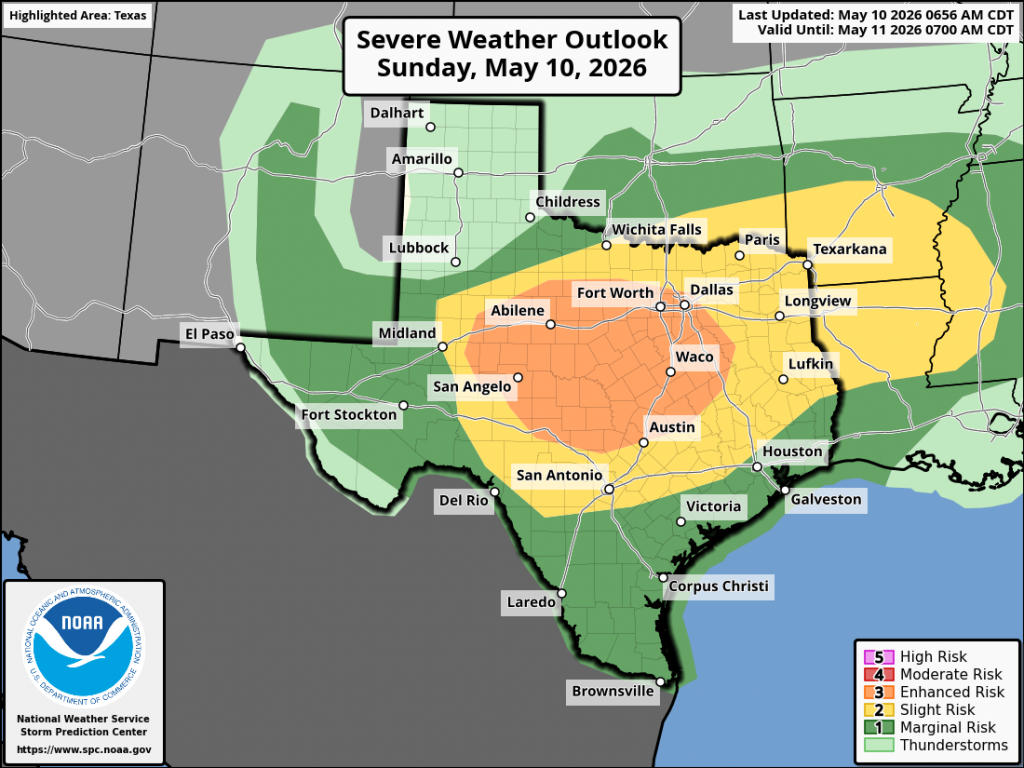
The Storm Prediction Center has placed much of West Texas and the Hill Country, including Williamson County and the western half of Travis Country, under an Enhanced Risk (a 3 out of 5 risk) for severe thunderstorms through Sunday night. The area between Austin and Columbus has been placed under a 2 out of 5 risk, while areas southeast Columbus have been placed under a 1 out of 5 risk.
Rainfall from line of thunderstorms is forecast to generally average between 0.5 and 1 inch. However, some pockets of 2-4 inch totals will be possible—especially if the front happens to move slower than currently forecast.
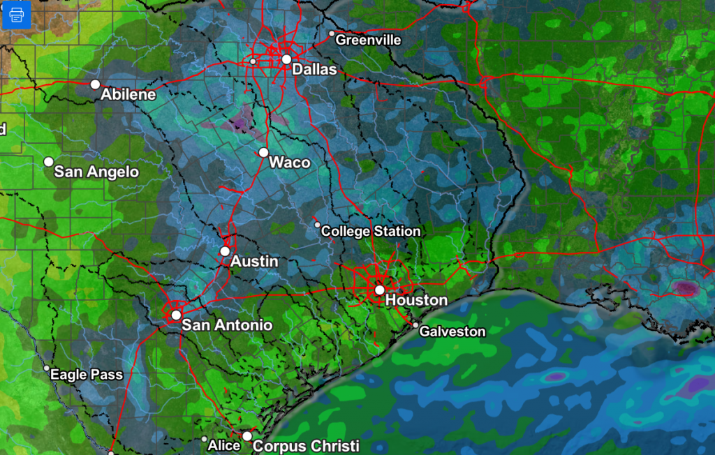
NWS Rainfall Forecast Valid through 7 am Monday:
Sunny and dry weather is forecast Monday through Friday. High temperatures will be in the low 80s Monday and Tuesday but look to warm close to 90 degrees Thursday and Friday.
Bob
Social Media