Quiet Weather and Milder Temperatures Forecast this Week
DEC. 8, 2025
Monday started off rather chilly thanks the cold air spreading in behind Sunday’s cold front. A light freeze occurred across most of the Hill Country. According to LCRA’s Hydromet, low temperatures Monday morning included the upper 20s to low 30s across the Hill Country, the mid and upper 30s across Central Texas, and the lower 40s across the coastal plains. LCRA’s lowest gauged temperature was 24 degrees, at a river gauge south of the city of Telegraph, in northern Edwards County. In Austin, Camp Mabry’s low temperature was 36 degrees while Austin-Bergstrom recorded 34 degrees.
Sunny, dry, and quiet weather is forecast across the region this week as a large ridge of high pressure spreads over Texas out of the western U.S. The cool air currently in place will begin moving off to the east on Tuesday as southerly breezes return off the Gulf. Before that happens, we’re looking at another chilly period Monday night. A light freeze will be possible again across parts of the Hill Country.
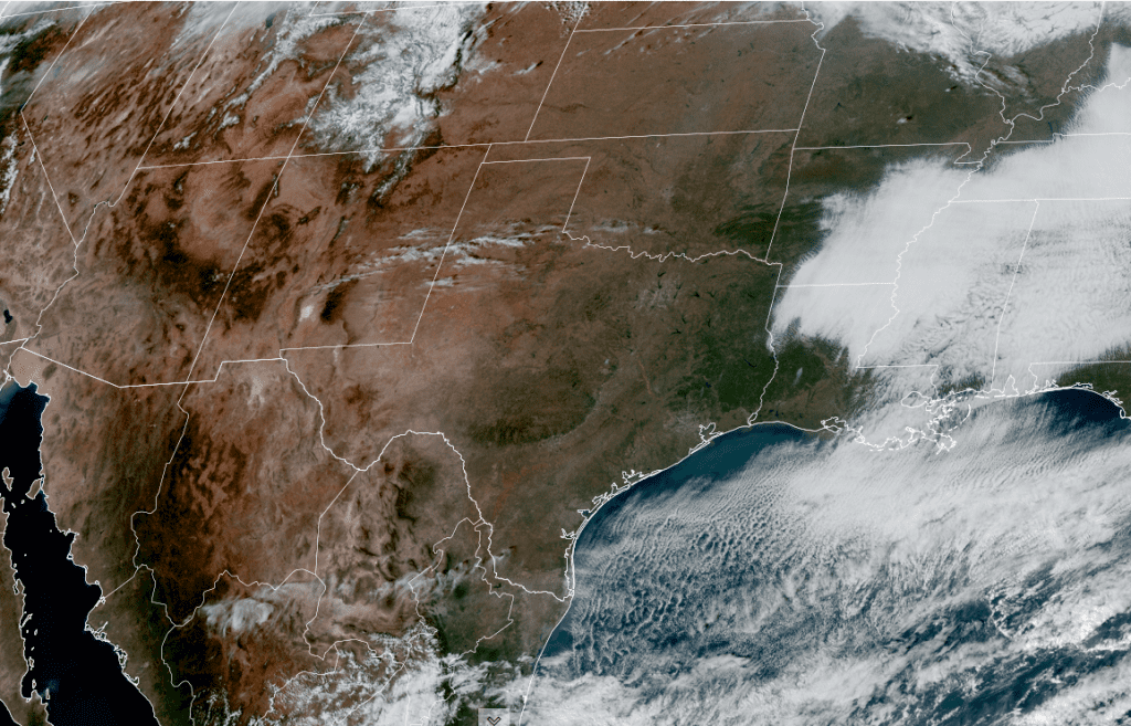
NOAA/Colorado State University/RAMMB 12/08/25 2:20 pm CST
- Lows Tuesday morning are forecast to be in the low and mid-30s across the Hill Country, the mid-30s across Central Texas, and the upper 30s across the coastal plains
Warmer temperatures look to develop Tuesday afternoon and will continue through late week. A weak cold front is predicted to push south through the area Wednesday morning but isn’t expected to have a significant impact on the temperature. With limited moisture in place, no rain is forecast with the front.
- High temperatures Tuesday are forecast to be in the upper 60s
- High temperatures Wednesday and Thursday are predicted to be in the lower 70s
- High temperatures Friday are forecast to be in the mid-70s
- Lows Wednesday morning will generally be in the low and mid-40s
- Lows Thursday morning will include the upper 30s across the Hill Country, the lower 40s across Central Texas, and upper 40s to low 50s across the coastal plains
- Lows Friday morning will generally be in the low 50s
Heading into the weekend, some slight changes in the weather are expected as another cold front pushes south across the area on Saturday. A few light rain showers will be possible for areas along and south of Interstate 10 on Saturday. Rain amounts, if any, should total less than a tenth of an inch. For the rest of the region, a mostly sunny sky is forecast. Mostly sunny conditions will continue for the entire region on Sunday. High temperatures both days are forecast to be in the upper 60s. Lows Sunday and Monday mornings are predicted to be in the upper 40s to mid-50s.
Extended Outlook
Looking out into next week, forecasts are pointing to a chance for rain developing across the region Tuesday into Wednesday as a trough of low pressure tracks east across the southern Plains. Rain amounts over the two day period is expected to be in the range of a quarter to a half inch. Sunny and dry weather is predicted for next Thursday and Friday.
No significant change in the temperature is forecast next week. Highs are predicted to be in the 60s throughout the week, with lows in the upper 40s to low 50s. As of now, there are no indications for a cold air outbreak to take place in the days leading up to Christmas.
A Strong Geomagnetic Storm is Predicted for Tuesday
NOAA forecasters indicate strong G3-class geomagnetic storms will be possible Tuesday when a CME (coronal mass ejection) launched from the sun on Saturday reaches Earth. If the storm is as potent as NOAA thinks, it could spark auroras from the Arctic Circle to mid-latitude U.S. states and possibly even further to the south. Stay tuned for further updates.
Have a great week!
Bob
Social Media