


Our region's water comes from two storage reservoirs, Lake Travis and Lake Buchanan, in the Highland Lakes on the Colorado River. Together, the lakes can hold about 2 million acre-feet, or nearly 650 billion gallons, of water. The lakes are about full, and were last full in July 2019.
Why water conservation is important
The Texas Hill Country sees droughts and floods regularly. It’s the nature of this arid region, and that’s why the lakes were created.
Lakes Travis and Buchanan were designed to fluctuate. They capture water in wet times and hold it for use by more than a million Texans, industries, agriculture and the environment when conditions turn drier. It’s everyone’s job to use the water wisely.
What you can do
Use water wisely
Save water
Use our water-saving tips, tools & resources
Save money
Offset your costs with outdoor rebates
Stay connected
Follow us on social media for the latest info
Make waves
- Stay informed.
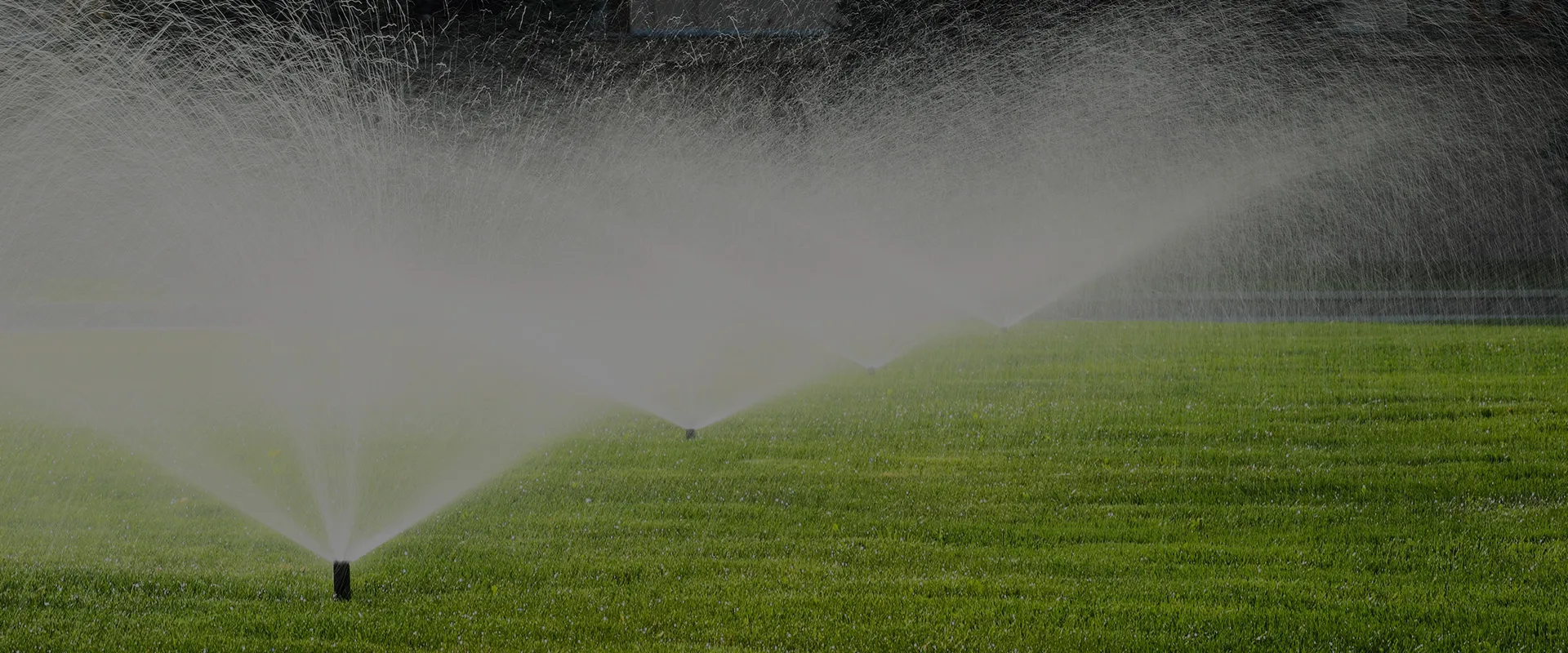
Sign up to receive information about the Colorado River and lakes each weekday. - Reduce discretionary water use such as outdoor watering. As much as 70% of water used at homes during the hot summer months is used outdoors. We can’t control when or where it rains or how much water evaporates from the lakes, but we can control how much water we use.
- Spread the word.
Whether you’re writing an article, researching a school paper, or talking water with your neighbors, share our WaterSmart tips, tools & resources, info on the Highland Lakes and Colorado River, or how to take advantage of money-saving residential rebates.
What we’re doing
Limiting outdoor watering to twice a week.
Cities, businesses, industries and others that purchase water from LCRA are required to limit outdoor watering to no more than two times per week. View our water customers’ watering schedules.
Cutting off water to most downstream interruptible agricultural customers.
No water from the Highland Lakes will be available for most LCRA agricultural customers in Colorado, Wharton and Matagorda counties in 2025.
Offering larger rebates for water smart practices
LCRA offers up to $3,000 in rebates per residential property to help offset the cost of upgrading irrigation systems, maintaining landscapes and pools, testing soil, and converting turf to native garden beds or drought-tolerant landscapes. Learn more about our residential and commercial, institution and industrial rebates.
Drought resources
The latest drought conditions in Texas
Drought conditions in Texas from NOAA and NIDIS
Drought dashboard from Texas Water Development Board
Information from the Texas Commission on Environmental Quality
Information on burn bans, forecasted fire danger and drought
Social Media