Sunny and Hot Weather Settling in for the Remainder of July
July 21, 2025
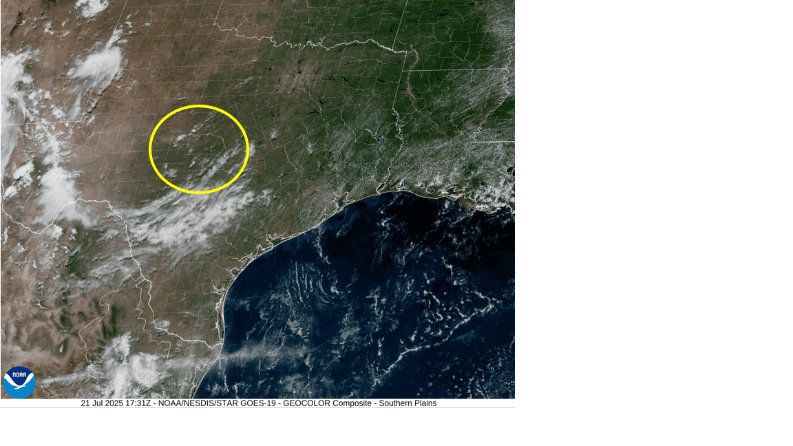
Quiet weather is in place as we start off the new week. For the past couple of days, much of the area has seen considerable middle and high-level clouds thanks to a weak area of low pressure which pushed inland along the upper Texas coast on Friday. As of midday Monday, the remnant low was centered over the northern Hill Country, moving slowly to the west. Satellite images show the low was still causing an area of clouds across the region. However, fewer clouds can be expected Monday afternoon, compared to past couple of days.
- High temperatures Monday are predicted to generally be in the mid-90s.
Mostly sunny, hot, and rain-free weather is for forecast Tuesday, continuing through the end of the week and the weekend as a large ridge of high pressure slowly sets up over the southern Plains states. Despite the ridge setting up to our north, no significant change in high temperatures is expected. Highs are predicted to remain mostly in the mid-90s. But do note a few spots across Central Texas could see highs in the upper 90s Thursday and Friday.
Several computer-forecast solutions indicate a low-pressure system is expected to break off a weak frontal zone located off the southeast US coast over the next couple of days. Like what occurred last week, this system is predicted to track south and then westward into and across the northern Gulf the second half of this week. As of now, the probability for tropical development with this low will be quite low. The low is expected to push another area of clouds and moisture inland along the upper Texas coast beginning Friday, continuing through the weekend. For areas located south of Interstate 10, there will be a 40 percent chance for scattered rain showers and thunderstorms Friday through Saturday, with rain amounts in the range of 0.5 to 0.75 inches. As of now, it doesn’t appear the chance for rain will extend into Central Texas or the Hill Country.
Cloud cover from this feature is expected to moderate temperatures slightly, keeping high temperatures mostly in the mid-90s through the weekend .
The outlook for next week shows continued sunny and hot weather n as the ridge of high pressure becomes a bit stronger. For Central Texas and the Hill Country, high temperatures the first half of the week are predicted to be in the upper 90s, then warm close to 100 degrees for the second half. Across the coastal plains, high temperatures are forecast to be in the mid to upper 90s throughout the week.
Tropical Weather Outlook
For the past couple of days, National Hurricane Center forecasters have been following the progress of a strong tropical wave located over the central tropical Atlantic. Monday’s analysis, including satellite-derived wind data, indicates the wave and its associated area of low pressure has become less organized. Although the wave is still producing disorganized showers and thunderstorms, environmental conditions are not expected to be conducive for development the next few days as the wave moves westward at around 15 mph.
NHC forecasters are giving this system just a ten percent chance for tropical development over the next seven days.
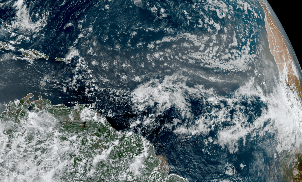
NOAA/Colorado State University/RAMMB 07/21/2025 1:40 pm CDT
Elsewhere, conditions remain quiet.
Have a great week!
Bob
This forecast was prepared Monday afternoon 7/21. For up to date weather forecasts and information 24×7, please consult the National Weather Service http://weather.gov/ewx weather.gov/hgx and http://weather.gov/sjt
Social Media