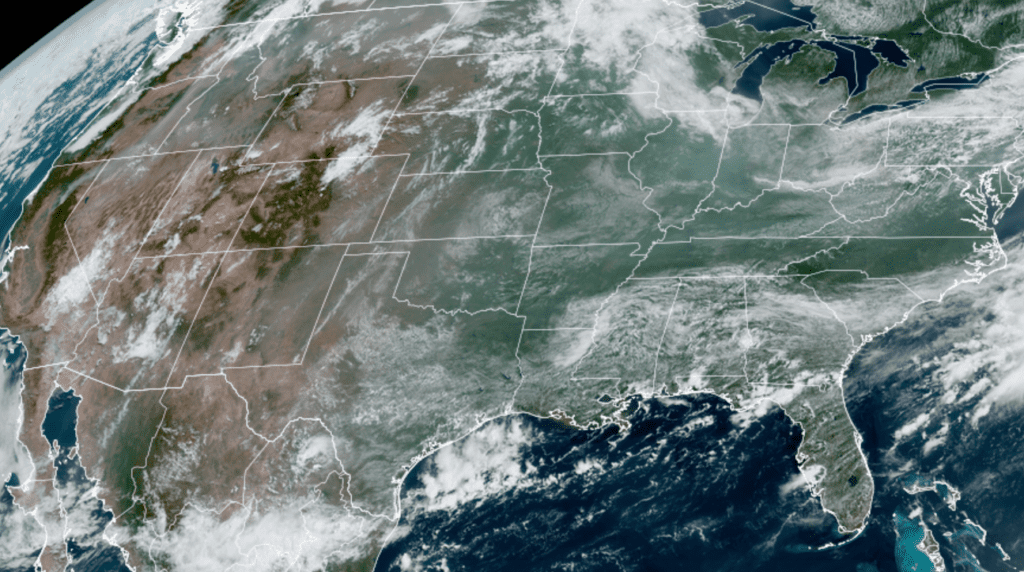
If the sky Wednesday looked somewhat hazy Wednesday, you were right. In fact, satellite images showed hazy conditions showing up over much of the eastern and southern U.S., including most of Texas. In most cases this time of the year the hazy conditions are the result of Saharan dust spreading north from the Gulf of Mexico. But this time it’s a little different, with the culprit being smoke from forest fires in the Pacific Northwest. Smoke from these fires is being carried aloft and pushed across the northern Plains, then south and southeast across the eastern and southern US. The air is flowing up and around a ridge of high pressure in the middle and upper atmosphere centered over Colorado.
NOAA/Colorado State University/RAMMB 07/21/21 1:20 pm CDT
Smoke from the fires is combining with typical continental haze to produce a milky-looking sky across much of the nation east of the Rockies. According to the Texas Commission on Environmental Quality (TCEQ), the majority of the fine particulates associated with the smoke are expected to stay aloft over most of Texas. However, the air quality forecast for the Austin area calls for conditions to reach the lower end of the “moderate” category Wednesday and Thursday, with conditions returning to “good” on Friday.
Air quality conditions are expected to deteriorate some this weekend when a large area of Saharan dust spreads into Texas off the Gulf of Mexico.
Bob
Social Media