Satellite images Thursday morning revealed an expansive plume of dust originating from the Saharan Desert of northern Africa, stretching from the west coast of Africa all the way to the central Atlantic. Plumes of Saharan Dust routinely track into the Atlantic Ocean between late spring and early fall and when the trade winds set up just right. These clouds of dust are actually made up of very small particles of sand which are light enough for the trade winds to carry them for thousands of miles. According to NOAA’s Hurricane Research Division (HRD), trade winds between 5,000 and 20,000 feet above the Earth’s surface, a zone known as the Saharan Air Layer (SAL), can carry the dust as far west as Texas and the Gulf states.
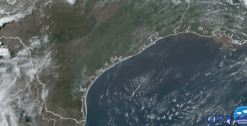
RAMMB-CIRA 06/18/20 11:10 am CDT
The current dust plume is quite massive! The National Weather Service office in Puerto Rico noted the Saharan Air Layer was creating hazy skies in the area earlier this week.
NASA’s GEOS-5 model, which tracks dust aerosol particles, indicates trade winds will be favorable to carry part of the current dust plume all the way wets to the western Gulf of Mexico. The model calls for the dust plume to spread across the Caribbean Sea this weekend and possibly reaching the Texas by the middle of next week.
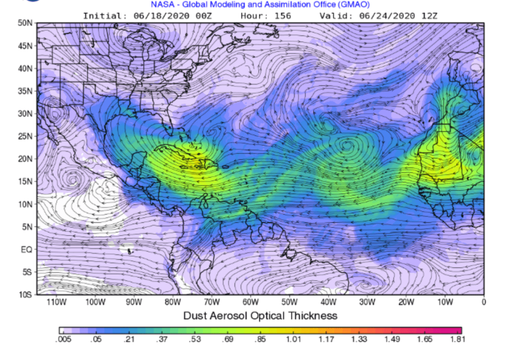
NASA GEOS 5 Forecast Model valid 7 am Wednesday, June 24, 2020
If the dust reaches our area next week, we might see some red skies at sunrise and sunset for a few days. While its presence is usually innocuous, the dust can irritate people who have respiratory issues, depending on its concentration in the air.
The Saharan dust clouds generally help keep tropical storms from developing. The dry, dusty air along with increased vertical wind shear in the SAL promote very unfavorable atmospheric conditions for tropical storm development.
The early part of hurricane season is typically quiet in the deep tropics. And this outbreak of dust along with unfavorable upper-level winds will likely put a lid on any significant tropical development from the deep tropics in the near-term future.
Bob
Social Media