Scattered strong and severe thunderstorms rolled across the Hill Country and Central Texas regions Monday evening and Monday night ahead of a Pacific cold front. These storms produced large hail and very high winds at several locations. There were no confirmed reports of tornadoes. Some of most extensive storm damage appears to have occurred in the city of Bertram, in eastern Burnet County where a tornado warning had been issued Monday evening. A team from the National Weather Service surveyed the storm damage Tuesday morning and indicated they believed the damage came from straight-line winds associated with a microburst, rather than a tornado. There were reports of multiple power lines down and extensive damage to two buildings in the city. All of the storms exited Central Texas before sunrise Tuesday. Rain amounts from the storms generally totaled around a half inch, although there were a few isolated totals to around an inch.
Attention now turns to the next storm system predicted to push east across Northwest Texas late Wednesday. Clouds and moisture are forecast to spread north from the Gulf of Mexico Wednesday morning. There will be a 30-40 percent chance for scattered rain showers and isolated thunderstorms across the region Wednesday afternoon and evening as the atmosphere becomes moist and somewhat unstable.
Forecasts call for scattered strong to possibly severe thunderstorms to develop across parts of West Texas Wednesday evening along the dry line. These storms are predicted to track east-northeast across the Hill Country and Central Texas regions Wednesday night into Thursday morning. Some of the storms may also affect the parts of the middle Texas coast. With the atmosphere being moist and moderately unstable, the potential exists for storms to be strong to severe during the late evening and overnight. The primary threats will be large hail and damaging winds.
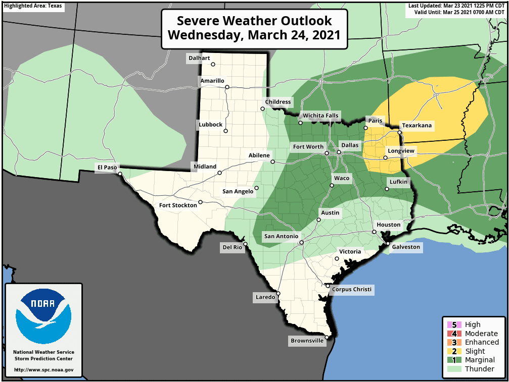
The Storm Prediction Center has placed most of the Hill Country and the northern counites of Central Texas under a Marginal Risk (1 out of 5 risk) for severe thunderstorms Wednesday night. The marginal risk area is for locations along and north of a line stretching from Leakey to Austin, to Franklin. The severe weather threat does not appear to be nearly as high for locations to the southeast of Austin.
The highest rain totals are expected to occur across the Hill Country while lower amounts are expected across Central Texas and the coastal plains. Totals will range from 0.5 to 0.75 inches across the Hill Country, to around 0.25 to 0.5 inches across Central Texas, to less than a quarter inch close to the coast.
The rain and storms are forecast to exit to the east Thursday morning, with sunny and slightly cooler weather developing Thursday afternoon. Dry and sunny weather is forecast to continue Friday and through the weekend.
Bob
Social Media