Forecasters are monitoring an area of disturbed weather way out in the far eastern tropical Atlantic. Here, a tropical wave is producing disorganized showers and thunderstorms. According to the National Hurricane Center, environmental conditions could become conducive for gradual development of this system by early next week as the disturbance moves westward over the tropical Atlantic at around 15 mph.
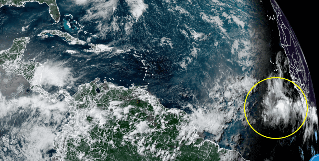
NOAA/Colorado State University/RAMMB 06/23/2022 2:40 pm CDT
NHC forecasters call for the system to reach a position just east of the Windward Islands by about Tuesday or Wednesday or next week.
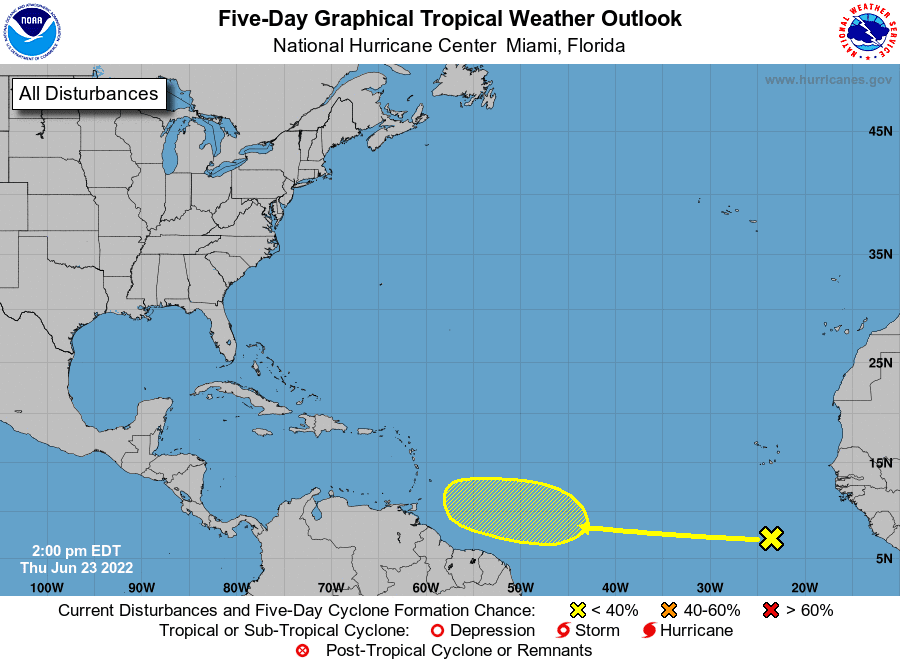
As of now, NHC forecasters are giving this system just a 20 percent chance for tropical development over the next five days. However, the probability for development could go up over the next couple of days as the system is picked up better by the computer-forecast models. It’s a bit early to see tropical development this far out into the tropical Atlantic in mid to late June, but it’s not unprecedented. This appears to be a sign the tropics are beginning to wake up in what is expected to be a very active hurricane season.
Bob
Social Media