An unsettled weather pattern continued across our region over the weekend, allowing for more scattered rain showers and thunderstorms. The most significant rain event appears to have taken place Sunday evening when a slow-moving area of thunderstorms tracked over eastern Hays, southern Travis, northern Caldwell and western Bastrop Counties, producing totals of 2-4 inches. Most other weekend totals were significantly lower. The coastal plains region saw little to no rain.
The unsettled pattern responsible for periods of rain over the past week appears to have come to an end. Monday’s weather maps showed a stable ridge of high pressure in the middle and upper atmosphere spreading over Texas out of the Gulf of Mexico. This high pressure ridge is expected to limit the development of rain and thunderstorms at most locations through late week. And at the same time, it will help boost temperatures well into the 90s and close to 100 degrees. Fortunately, this hot and dry pattern won’t be locking in for all of July. Long-range outlooks indicate a chance for rain will be returning to our forecast next week.
Partly cloudy and dry weather will be in place across the region this afternoon. Today’s weather will be quite breezy due to a moderate pressure gradient between high pressure over the Gulf of Mexico and an area of low pressure located over southeastern Colorado. Expect southerly winds at 10-20 mph with occasional gusts to 30 mph. Afternoon temperatures will generally reach the low and mid-90s. Breezy and warm weather is forecast Monday night. Lows Tuesday morning will be near 78-80 degrees across Central Texas and the coastal plains region. Lows across the Hill Country will be in the mid-70s.
Forecasters will be keeping an eye on weather developments across West Texas late this afternoon and evening where scattered thunderstorms are forecast to develop along the dry line. The thunderstorms are forecast to track east and will have the potential to get as far east as San Saba, Mason and Junction late this evening. A couple of the storms may be strong, producing gusty winds and dangerous lightning. Rain amounts are forecast to average between 0.25 and 0.50 inches.
Similar weather conditions are forecast Tuesday and Wednesday evenings. Morning clouds will give way to a mostly sunny sky in the afternoon. Breezy conditions look to continue both days, with speeds around 10-20 mph. High temperatures Tuesday will be in the mid-90s, warming to the upper 90s on Wednesday. Additional thunderstorms are predicted to develop along the dry line Tuesday and Wednesday evenings, with a slight chance a couple of the storms may track as far east as San Saba and Mason. Rain amounts will continue to average between 0.25 and 0.50 inches.
Mostly sunny, hot and dry weather is forecast Thursday through the Fourth of July weekend as the center of the high pressure ridge sets up over the southern Plains and eastern New Mexico. High temperatures each day are forecast to be near 98-100 degrees. Middle 90s are forecast across the coastal plains regions.
The center of the high pressure ridge is forecast to shift toward to the Four Corners region early next week. At the same time, a trough of low pressure in the upper atmosphere located over the northern Gulf of Mexico is forecast to track west to a position over southern Louisiana. The combination of a weakening ridge and moisture wrapping around the trough is expected to bring a chance for showers to the coastal plains region Monday and Tuesday and a slight chance to a chance for showers and thunderstorms to the rest of the region Wednesday through Friday. Rain amounts are not expected to be very heavy. Expect a partly cloudy sky next week with high temperatures generally in the mid to upper 90s.
Longer-range forecasts point toward a drier and hotter forecast as we move to the middle of July. More triple-digit temperatures will be possible at that time.
Tropical Weather Outlook
National Hurricane Center forecasters are keeping an eye on two areas of disturbed weather, but neither system has a strong potential for development.
The first system, consisting of an area of disorganized showers and thunderstorms along a tropical wave, is located several hundred miles east of the southern Windward Islands. Some slight development of this system will be possible during the next day or so as the system moves westward to west-northwestward at around 20 mph. Strong upper-level winds are forecast to inhibit further development by mid-week. NHC forecasters are giving this system only a 10 percent chance for development over the next 5 days.
Forecasters are also monitoring the area off the southeastern coast of the United States where an area of low pressure is forecast to develop on Tuesday. Some development of this system will be possible later this week while the system moves generally northeastward, well offshore of the east coast of the United States.
Elsewhere, conditions are quiet and tropical cyclone development is not expected over the next 5 days.
RAMMB-CIRA 06/29/20 12:10 pm CDT
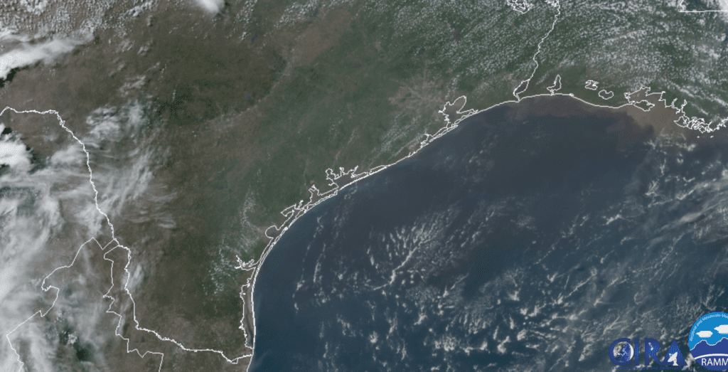
Sharan Dust Update
Moderate amounts of Saharan dust are forecast to continue spreading north across the eastern two-thirds of the state today through Wednesday. The dust is not expected to be as thick as what was observed over the weekend. According to the TCEQ, the PM2.5 Air Quality Index is forecast to remain mostly in the middle part of the “moderate” range in the Austin area.
A slightly more intense dust cloud is forecast to begin arriving along the Texas coast Wednesday afternoon and spread inland Wednesday night into Thursday. The PM2.5 Air Quality Index is forecast to remain in the “moderate range” in the Austin area.
Latest Sunset of the Year
The latest sunset of the year will occur Monday evening and again Tuesday evening. The latest sunset always follows the summer solstice by just over a week. In Austin, sunset both evenings will be at 8:36 pm CDT.
Bob
Social Media