Although this is technically the last week of astronomical spring, we all know that summer weather arrived weeks ago and will likely be with us now for the next 3 months. That bubble of dry air which spread into our area and gave us those nice, cool mornings last week has now been replaced by a very humid air mass originating off the Gulf of Mexico. Unfortunately, our typical summertime “muggy” weather is back and it looks to be with us for the long haul.
Today’s humid weather is being reinforced by an enhanced area of tropical moisture associated a weak area of low pressure that is spreading inland across South Texas. The majority of this moisture is being focused over areas south of a Victoria to San Antonio to Del Rio line. However, some of this moisture will also likely spread from the middle Texas coast into Central Texas and the eastern Hill Country. As afternoon temperatures warm into the 90s, some widely scattered rain showers and isolated thunderstorms will be possible. The probability for rain will be 30 percent near the coast and 20 percent for locations further inland. For areas that do happen to pick up a shower or two, rain amounts will total less than a quarter inch. Expect a partly cloudy to mostly sunny sky. Today’s temperature is forecast to warm to the low and middle 90s. Lows Tuesday morning will be near 68-70 degrees.
Today’s area of enhanced moisture is forecast to shift further to the west Tuesday, causing the chance for rain to diminish. Forecasts call for a weak ridge of high pressure to hold across Texas throughout the week as troughs of low pressure set up over the Southeastern and Northwestern U.S. Fortunately, the ridge is not predicted to be quite as strong as it was early last week. As a result, high temperatures Tuesday through Saturday are forecast to mainly be in the mid-90s. Low temperatures will be in the low 70s.
Forecasts continue to indicate changes in the weather pattern will take place next week that will lead to a chance for rain across our region. Forecasts for the ridge of high pressure over Texas to diminish while new ridges of high pressure strengthen over the Southwestern U.S. and the eastern Gulf of Mexico. This “weakness” between the two ridges across Texas is expected to cause a flow of moist, tropical air north from the Gulf of Mexico. There will be a slight chance for rain showers in the forecast by Monday, with a chance for rain showers and thunderstorms continuing Tuesday through Friday. Early indications on rain totals for all of next week show amounts could end up somewhere between 1 and 2 inches. However, there is considerable uncertainty in the forecast at this point Stay tuned for updates as we get a better handle on this change in the weather pattern.
High temperatures next week look to stay mostly in the middle 90s. No temperature extremes are predicted over the upcoming 2-week period.
Tropical Weather Outlook
National Hurricane Center forecasters are monitoring a small non-tropical low pressure system located east of the Georgia Coast. This system is producing an area of disorganized showers and a few thunderstorms over the Atlantic waters. The low is expected to move northward overnight and be located offshore, near the South Carolina-North Carolina border by Tuesday morning. Although environmental conditions are forecast to be unfavorable for any significant development, this system could briefly acquire some subtropical characteristics before it moves inland Tuesday afternoon or evening. NHC forecasters are only giving this system a 10 percent chance for tropical development over the next 2-5 days.
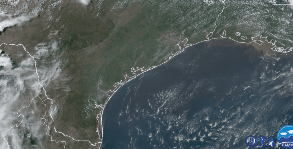
RAMMB-CIRA 06/15/2020 2:10 pm CDT
Elsewhere, weather conditions are quiet. Tropical cyclone development is not expected over the next 5 days.
Summer Solstice
The Summer Solstice will occur this Saturday, June 20th at 4:43 pm CDT. Saturday will be the longest day of the year, with over 14 hours of daylight.
Have a good week.
Bob
Social Media