A dry and quiet weather pattern is currently in place across Texas and the south central U.S. The air is unusually dry thanks to the weak Canadian cold front which moved through our area late Tuesday. This dry air not only feels great but it has allowed temperatures to cool into the 50s and 60s for the past 3 mornings. Early Friday morning, a couple of spots between Menard and Junction even cooled into the upper 40s, according to LCRA’s Hydromet. Keep in mind the average low temperature for this time of June is about 72 degrees.
Friday’s weather maps showed a broad ridge of high pressure in the middle and upper atmosphere stretching from the central Rockies to northern Mexico, with the ridge centered just north of Midland. The circulation around the ridge is keeping clouds and storm systems away from Texas. At the same time, sinking air underneath the ridge is keeping our atmosphere dry and very stable. Forecast solutions call for the ridge of high pressure to remain parked across Texas through late next week and into next weekend. With the ridge in place, our weather looks to stay sunny, dry and quiet. Aside from a couple of stray showers near the immediate coast, no rain is expected.
The dry air currently in place is predicted to last through the weekend. But beginning Monday, southeasterly breezes will start bringing back higher humidity levels. Humid weather conditions, more typical of June, are expected to be in place all of next week.
Temperatures will be hot today through Sunday, with high temperatures generally in the low and mid-90s. Readings are forecast to trend up 2-3 degrees beginning Monday, with high temperatures Monday through Thursday generally in the mid and upper 90s. Highs are then forecast to come down about 2-3 degrees late week and next weekend.
Low temperatures Saturday and Sunday mornings will range from the upper 50s and low 60s across Hill Country to the upper 60s near the coast. Low temperatures next week look to be near 70-72 degrees.
Looking ahead to the week of June 22nd, some changes to the current weather pattern are being indicated by the long-range models. Forecasts call for the stationary ridge of high pressure to finally weaken, allowing a series of weak troughs of low pressure to track east across the southern Plains states. At the same time, an enhanced area of tropical moisture is forecast to spread inland from the Gulf. All of these changes will lead to a chance for scattered rain showers and thunderstorms throughout the week, with the best chance for rain expected during the second half of the week. No significant change in the temperature is expected.
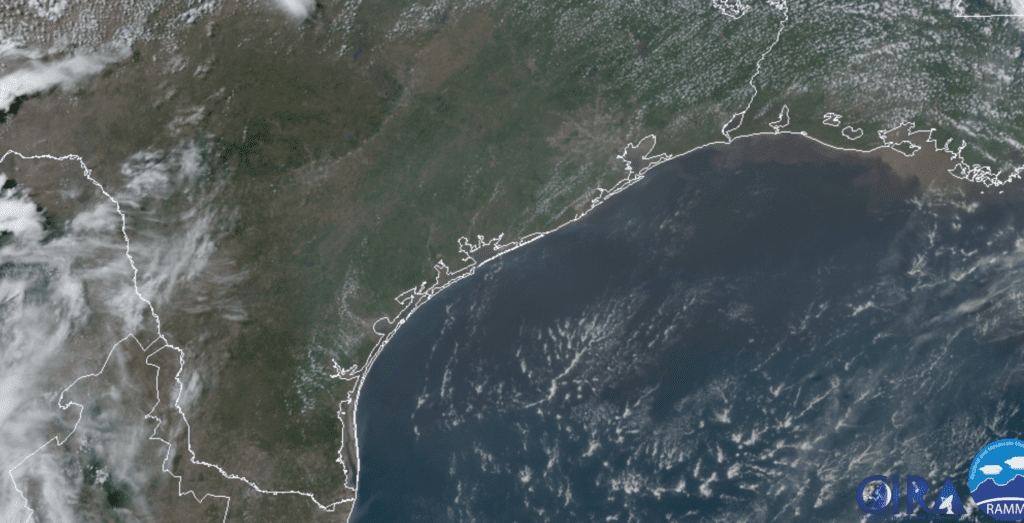
Tropical Weather Outlook
Weather conditions are currently quiet across the tropical Atlantic, the Caribbean Sea and the Gulf of Mexico. There are no systems in place which pose a threat for tropical development for at least the next 5 days.
Jupiter and Saturn Beginning to Put on a Show
With the sky being clear this weekend, it will be a great time to catch a view of the planets Jupiter and Saturn. Both planets will be visible in the eastern sky beginning in the late evening, around 11 pm. Bright Jupiter will rise first followed about 20 minutes later by dimmer Saturn. The two planets will only be about 5° apart! Farther to Jupiter’s right, look for the constellation Sagittarius “Teapot” resting upright. The two giant planets will shine at their highest and brightest in the hour or so before the beginning of dawn.
Have a good weekend and enjoy the last of the amazing dry air.
Bob
Social Media