Forecasters are closely monitoring a tropical wave located a few hundred miles east of the southern Windward Islands. The wave is moving to the west at 10-15mph. Scattered showers and thunderstorms are accompanying this wave axis. According to forecasters at the National Hurricane Center, the system is beginning to show signs of organization, and the wave will likely strengthen into a tropical depression within the next couple of days. The disturbance is forecast to move west-northwestward across the southern Windward Islands today, then move toward the central Caribbean Sea later this week. An Air Force Reserve reconnaissance aircraft is scheduled to survey the system Wednesday evening. NHC forecasters are giving this system a high chance, a 90 percent chance, for tropical development over the next 5 days.
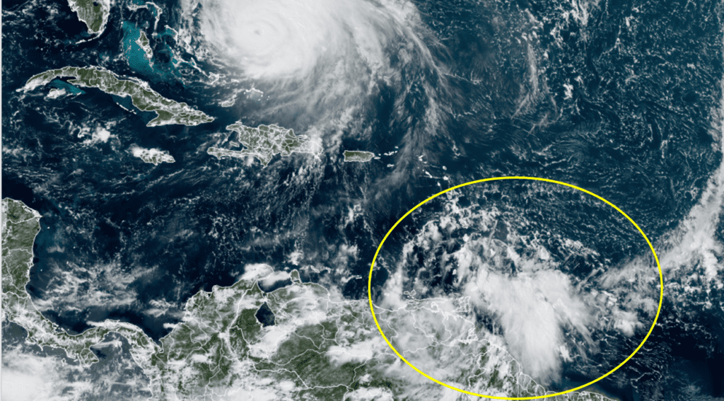
NOAA/Colorado State University/RAMMB 09/21/2022 1:10 pm CDT
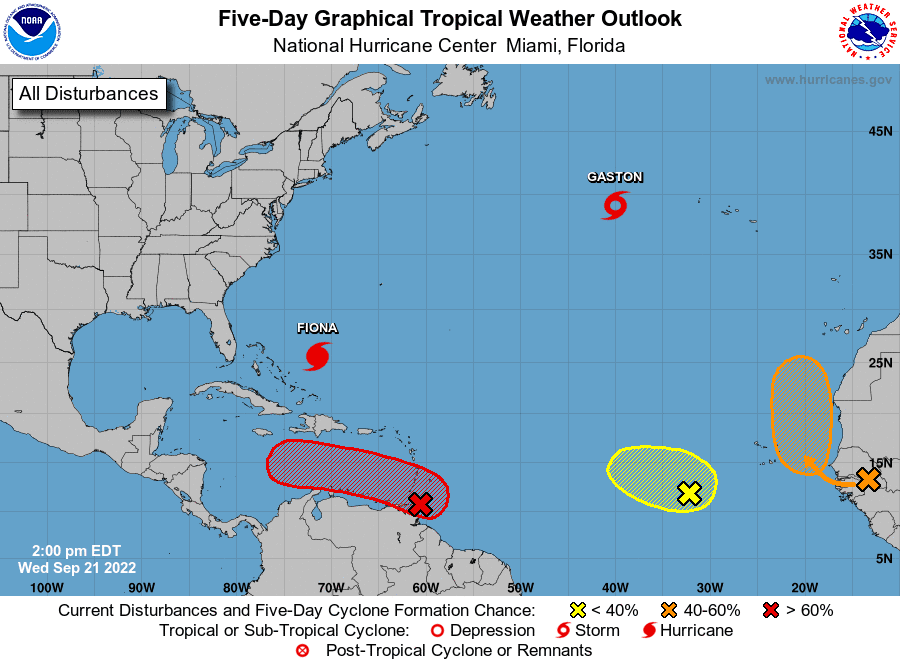
Global deterministic and ensemble guidance calls for the tropical system to enter the southeastern Gulf of Mexico sometime early next week. Much of the longer term track will depend on how this system will eventually interact with a trough of low pressure located over the eastern U.S. and how the system eventually gets pulled northward out of the tropics. As of now, this system appears to be a threat mainly to Florida and the eastern Gulf of Mexico, and not so much toward Texas.
Stay tuned for additional updates and forecasts over the next couple of days.
Bob
Social Media