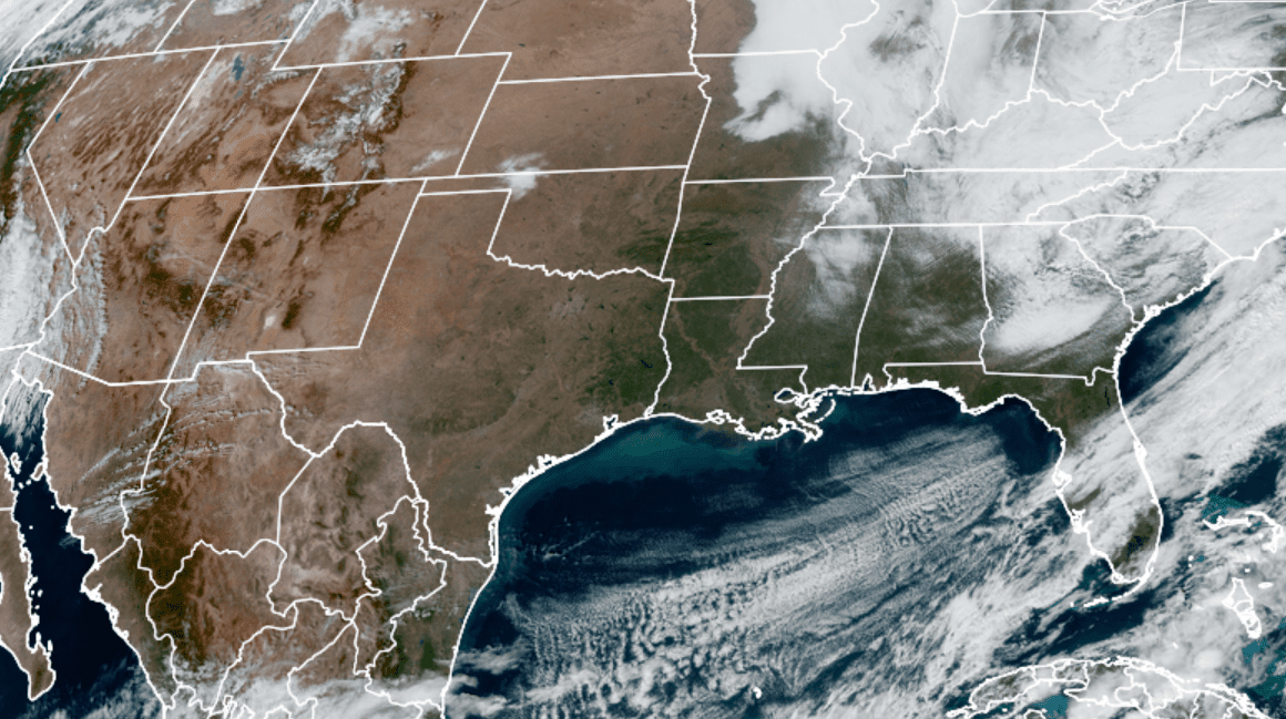
Dry, quiet and mild weather conditions will be in place this afternoon, continuing through Thursday. Monday’s weather maps show a stable ridge of high pressure in the middle and upper atmosphere covering the central and south central U.S. following the passage of a large trough of low pressure over the weekend.
RAMMB/CIRA/Colorado State University 12/07/20 12:20 pm CST
With the storm track well up to our north and east, this ridge will keep our weather sunny and dry. At the surface, a dome of Canadian high pressure spread south to Texas on Sunday and is forecast to remain over our area through Wednesday, then move off to the east. Temperatures will trend milder through the week as winds shift from the northwest to the south and southwest.
High temperatures this afternoon will be mostly in the upper 60s, warming to the low and mid-70s Tuesday and to the mid to upper 70s Wednesday and Thursday. Lows Tuesday and Wednesday mornings will include the mid and upper 30s across the Hill Country with low to mid-40s at most other locations. Lows Thursday morning will range from the low 40s west to the upper 40s near the coast. Lows Friday morning will range from the low 50s across the Hill Country to the low 60s near the coast.
A change in the weather pattern is forecast to take place Thursday night into Friday when a trough of low pressure over northwestern Mexico lifts northeast and merges with a trough of low pressure tracking east across the Plains states. Clouds and moisture are forecast to spread north from the Gulf of Mexico into Texas beginning Thursday night. As moisture levels increase, scattered light rain showers and a few isolated thunderstorms will be possible across the region Thursday night, continuing into Friday. The probability for rain will be near 30-40 percent. A cold front is the forecast to sink southeast across the area Friday afternoon into Friday evening. The chance for rain will diminish from west to east behind the cold front Friday afternoon into Friday evening.
Rain amounts Thursday night through Friday evening are forecast to average around a quarter inch or less across the Hill Country and Central Texas regions. Totals of a quarter to a half inch are forecast for the coastal plains region.
Sunny and slightly cooler weather is predicted for the upcoming weekend as cooler and drier air spreads in behind the cold front. High temperatures Saturday and Sunday are forecast to be in the low to mid-60s. Lows Sunday and Monday morning will include the low and mid-30s across the Hill Country, the upper 30s to low 40s across Central Texas and the low to mid-40s across the coastal plains.
The outlook for next week calls for sunny and dry weather with cool temperatures. High temperatures Monday through Wednesday will be in the mid-60s. Lows will be in the 40s. A weak cold front is forecast to push through the area sometime next Wednesday, bringing drier and just slightly cooler air for second half of next week. High temperatures will be in the low to mid-60s while low temperatures will be in the upper 30s to low 40s. Little to no rain is forecast with the cold front.
Long-range solutions call for additional cold fronts to sweep across our region leading up to Christmas, but none of these fronts are expected to bring our region any arctic air.
Catch a View of the International Space Station this Week
The International Space Station will be visible each evening this week, with particularly good passes occurring Tuesday and Wednesday evenings. You can find out the times and directions to look for your particular area by checking out NASA’s Spot the Station website, https://spotthestation.nasa.gov
Bob
Social Media