Tropical Depression Eleven strengthened into Tropical Storm Josephine Thursday morning. A weather satellite utilizing a type of radar to measure wind speed and direction around Josephine showed an area of 35-40 knot winds about 70 nautical miles to the north of the center of the Depression. Based on this new data, the cyclone was upgraded to Tropical Storm Josephine, with an initial intensity of 45 mph.
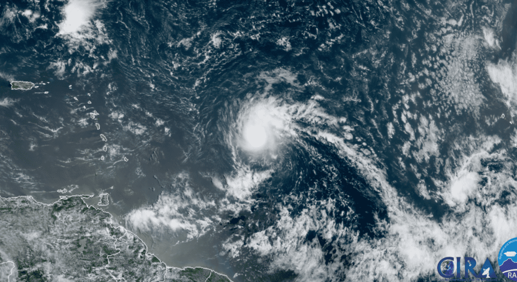
RAMMB-CIRA 08/13/2020 10:00 am CDT
At of 10 am CDT Thursday, the center of Tropical Storm Josephine was centered about 975 miles east-southeast of the northern Leeward Islands. Josephine was moving toward the west-northwest near 15 mph, and this general motion is expected to continue for the next few days, followed by a turn toward the northwest late this weekend or early next week. Recent satellite wind data indicated that maximum sustained winds have increased to near 45 mph along with some higher gusts.
Some additional strengthening is forecast during the next 48 hours as Josephine moves through an environment of light vertical wind shear. After that, however, the cyclone is expected to encounter moderate to strong southwesterly wind shear as it approaches an upper-level trough over the southwestern Atlantic. The increased shear is expected to cause some weakening. In fact, National Hurricane Center forecasts call for Josephine to weaken to a tropical depression by Monday.
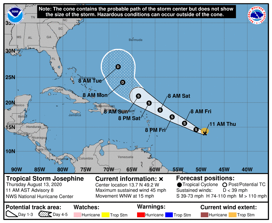
Josephine is forecast to track to a position just east of the Bahamas early next week. Josephine poses no threat to the Texas Gulf coast or the Gulf of Mexico.
Josephine is the earliest tenth tropical storm of record in the Atlantic, with the next earliest tenth storm being Tropical Storm Jose on August 22, 2005.
Bob
Social Media